
Preparations
Visas
Before leaving for Guinea-Bissau, we visited the country’s embassy in Banjul (The Gambia) to obtain our visas. We needed our original passports, two copies of each passport and a passport photo per person. As we did not have suitable photos, we went to a nearby shop offering an instant photo service. The visa cost 4200 Dalasi (approximately 50 Euro) per person.
Navigation
We obtained useful information from West Africa: Senegal, The Gambia and Guinea-Bissau, published by the Royal Cruising Club Pilotage Foundation. The most valuable assistance came from S/Y Liberté sur l’Océan, whom we contacted through Navily. They shared practical information and their Navionics tracks.
Boat
There are no boating facilities whatsoever in the Bijagós. It is essential to ensure that the boat is in good condition, carry all necessary spare parts and know how to carry out basic repairs yourself.
Provisioning
We still had plenty of non-perishable food bought in the Canary Islands. We also stocked up on canned food and snacks at a big supermarket in Banjul (very expensive!). At a local market, we bought enough fresh fruit and veggies to last three to four weeks.
General comments about the navigation in the Bijagós
Currents between the islands are strong (exceeding 2 knots) especially two to four hours after low or high water. Slack water lasts only a short time. The best time to manoeuvre through narrow channels and shallow areas is from approximately 30 minutes before high water until 30 minutes afterwards.
The charts are very outdated, so great care is required around shallow areas and sandbanks, as they may have changed considerably. A charted depth of two metres may in reality be only 0.5 metres. Conversely, a shallow section of a channel marked as four metres deep may actually be 20 metres deep. Satellite images (e.g. Google Earth) can sometimes be helpful, although it may not be clear whether they were taken at high or low water. A reliable depth sounder is therefore essential.
Be aware that most of the buoys shown on the charts no longer exist. We only navigated during daylight hours and would not recommend doing otherwise.
Approach and arrival
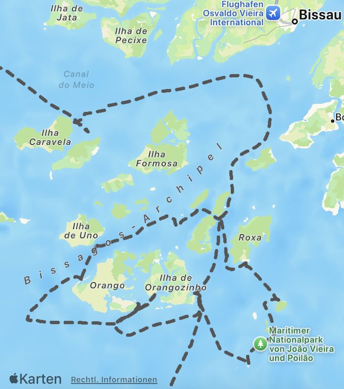
Coming from The Gambia, we stopped off the south-eastern side of Ilha dos Pelicanos, a small island north-east of Ilha Caravela. We spent the night there and waited for favourable tides before continuing towards Ilha de Rubane.
We followed the Canal do Geba and, after passing the Baixos do Gancho, turned into the Canal de Pedro Álvares. From there, we entered the Canal das Galinhas and approached the southern side of Ilha de Rubane, keeping Ilhéu de Anagaru and Baixo de Campos Franca to port.
We anchored in front of the hotel Ponta Anchaca. It took us approximately ten hours to complete the 62-nautical-mile passage. We were fortunate that the tides worked particularly well for us that day. During the morning, we benefited from six hours of incoming current, which helped us reach the entrance to the Canal de Pedro Álvares. This was followed by six hours of outgoing current, which carried us south towards Rubane. However, with the prevailing north-easterly wind reaching 20 knots and the rising tide, the first three to four hours were very rough.
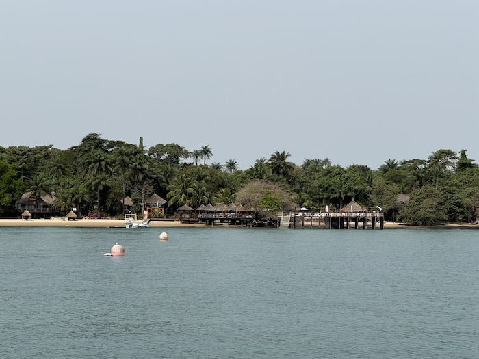
At Ponta Anchaca, Solange, the hotel owner, welcomed us warmly. She offered to contact the authorities to arrange our check-in for the following morning and organise transport to Bubaque by motorboat.
However, representatives of the five Bijagós authorities eventually came to the hotel and asked to inspect the boat and our documents that same evening. They inspected some of our storage compartments and checked our paperwork.
We had to pay:
- 50’000 CFA (ca. 76 Euro) for the cruising permit
- 50’000 CFA (ca. 76 Euro) for the authorities (5 entidades)
- 1’000 CFA (ca. 1.50 Euro) per person to get the passport stamped
I would recommend contacting the authorities as soon as possible after arrival. They were slightly annoyed that we had not done so immediately. Apparently, they do not have fixed office hours and may carry out formalities at any time.
For us, arriving at Solange’s place was ideal. She knows everyone, understands how everything works and helps ensure that visitors are not overcharged by the authorities. The food at the restaurant is also excellent
Islands visited
Rubane
From the Hotel Ponta Anchaca you can take short walks along the shoreline.
Roxa (Among the islanders known as Canhabaque)
We anchored in two different locations. First, we stayed off a beautiful beach on the south-western side of the island. For the next couple of days, we anchored off a beach on the southern side, from where we took the dinghy ashore and walked to Anchaca Sul Lodge, which is also owned by Solange.
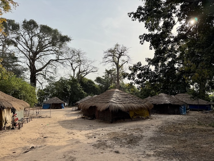
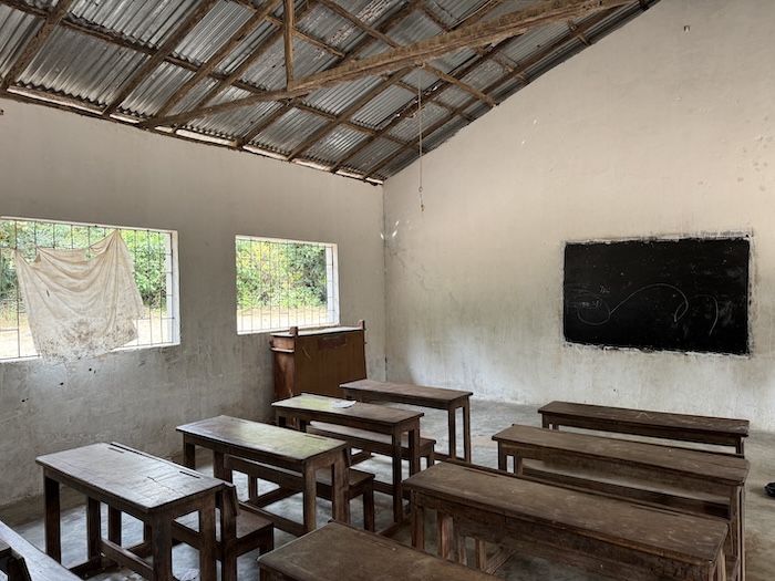
At the lodge, we enjoyed several delicious meals and arranged an excursion to visit one of the local villages. The following day, a few men took us there by motorbike. When we arrived, we were quickly surrounded by children, all eager to hold our hands and walk us through the village. The village is affected by severe poverty and the school lacks even basic supplies. I would therefore recommend bringing useful items such as chalk, pencils or notebooks. Not all the children in this village attend school, as many help their families with construction work or gardening.
João Vieira and Poilão
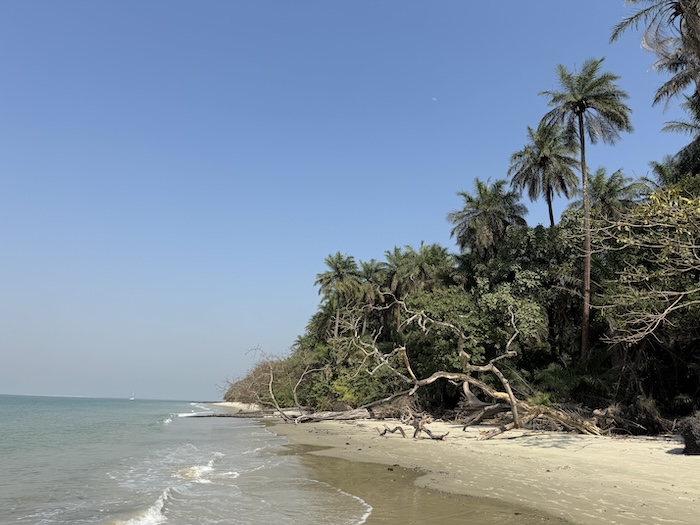
This group of islands forms part of a national park.
João Vieira
We anchored on the northern side of the island, between the island and the sandbank, which gives good protection from the swell especially at low tide.
Visitors must go to the rangers’ office to pay the national park fees. The office is located near the lodge Chez Claude. We paid a one-off fee of CFA 10,000 for the boat, plus CFA 5,000 per person per day.
Poilão
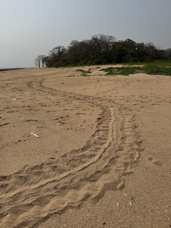
You need permission of a ranger to visit this island and make a tour with them. It’s the most important place for ocean turtles to lay eggs in Africa.
Orangozinho
We anchored off Ponta Canapa for the night so that we could time the tide correctly before continuing along the southern coast and entering the river system in the centre of the Orango Islands.
Orangozinho-Meneque
We passed to the south of Baixo de Camaleão. We timed our passage so that we would reach the shallow entrance between Imbone Island and the sandbanks at high water. At the shallowest point along our route, the depth was approximately four metres, with a tidal height of around four metres.
Keep a very close eye on the depth sounder and be aware of the strong currents. Stay well clear of the sandbank to the south.
Meneque
We spent one night anchored off the south-eastern coast of Meneque and enjoyed a walk along the beach.
Imbone
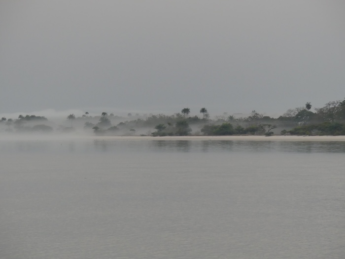
The best-protected anchorage we found around the island was at the entrance to the uncharted river between Imbone and Orango. However, the currents there were strong. More adventurous sailors may choose to enter the river, where the anchorage is likely to be calmer. According to a local ranger, the water is deep enough to enter safely.
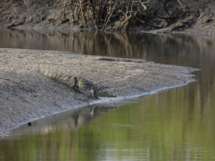
On the beach, we found numerous hippopotamus tracks in the sand. The ranger we met offered to show us a place where hippos are sometimes seen. We enjoyed a beautiful walk through the bush and reached a lagoon full of birds and crocodiles. We then continued to a small branch of the river where hippopotamuses are occasionally spotted, but unfortunately we did not see any that day.
Orango
We anchored off the long beach on the western side of the island. From there, you can walk to the famous hippopotamus pool. However, you must go with a guide, as visiting without one is prohibited and can be dangerous.
Bring plenty of drinking water, as it is a fairly long walk and there is very little shade. Unfortunately, once again, we did not see any hippopotamuses. The official ranger station, where you can pay the national park fees, is located near Hotel Orango Parque.
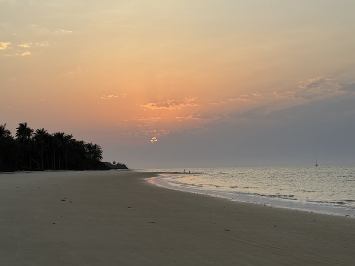
Uno
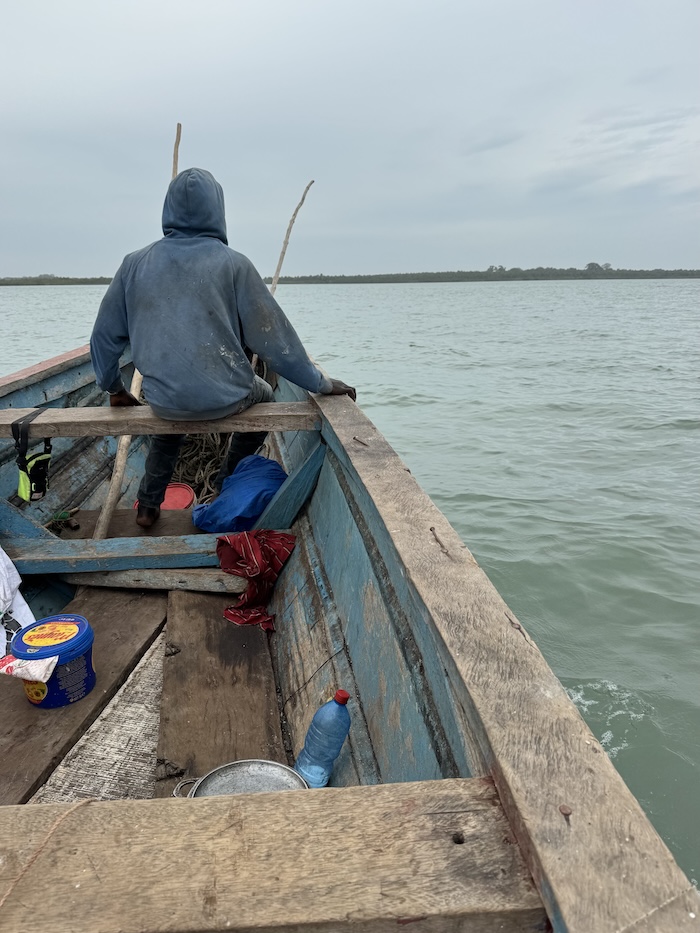
We anchored approximately one and a half nautical miles from the jetty because of the shallow water. We then asked some fishermen passing by in a pirogue whether they could take us ashore so that we could go for a walk and buy some food.
As they had originally intended to visit another island, we agreed to pay them €30 to take us to the jetty, wait for us for one or two hours and return us to our boat.
The captain, who knew the island and several of its inhabitants well, accompanied us. He showed us a few shops where we could buy bread, onions and passion fruit, and guided us through two villages. The villages felt very authentic, and the people were friendly. We thoroughly enjoyed this short excursion.
Uno-Rubane
The most challenging section was the shallow passage south of the small island of Angurman. We used a GPS track from SY Liberté sur l’Océan and passed through very slowly at high water, keeping a close eye on the depth sounder.
We then anchored near Soga to take a break and wait for high water the following day before continuing back to Rubane, where we had begun our round trip.
When sailing from Soga towards Bubaque at high water, we encountered a current of approximately two knots against us. It might have been better to make the passage one or two hours before high water. With so many islands and channels, predicting and interpreting the currents can be very difficult when navigating in the area for the first time.
Bubaque
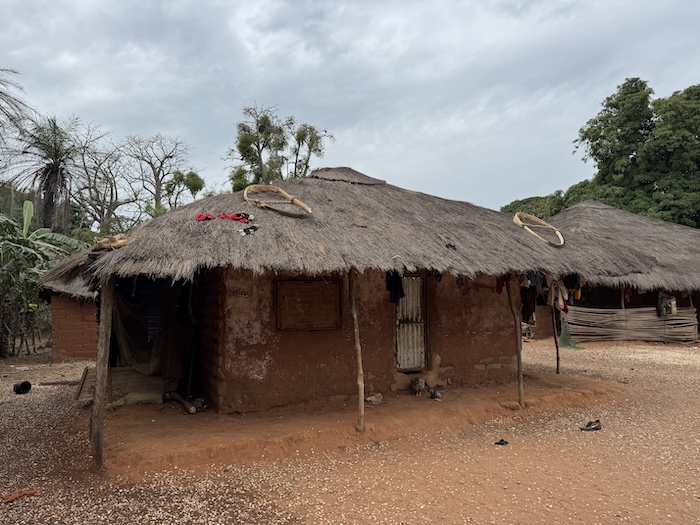
We visited the capital of the archipelago in one of Solange’s boats and only had time for a quick look around. A few vendors sell oranges and vegetables, and there is a small supermarket stocking mainly canned food, as well as a pharmacy with only basic supplies.
We spent approximately three weeks in the Bijagós. I would follow exactly the same route again, but I would recommend spending more time around Imbone, Meneque and Orango.
Of course, we would be happy to share more detailed information and our GPS tracks with anyone interested.
Preparing the Atlantic crossing and Check-out
We anchored once again in front of Hotel Ponta Anchaca, where Solange helped us obtain diesel and fresh provisions and arrange our laundry. A large bag of laundry cost €15. We were also allowed to fill our water tank from the hotel’s tap at no extra charge. The water is safe to drink.
On our final day, we travelled to Bubaque Airport with some hotel guests who were flying out from there and had our passports stamped. We asked the boat driver to wait for us for about half an hour and then take us back to the hotel. The whole process was very quick and did not cost us anything.
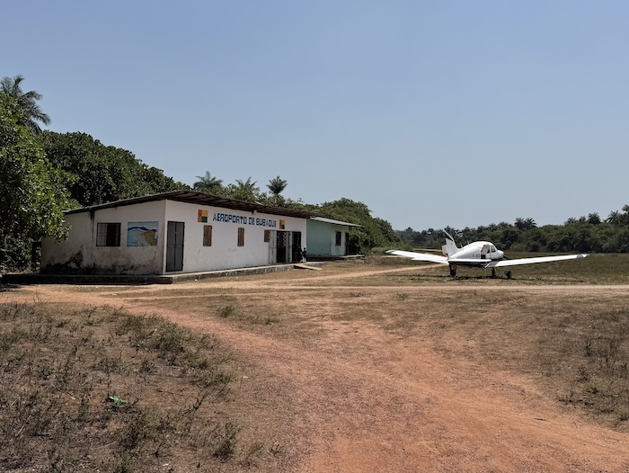
Bear in mind that the airport is very small, and the police officer responsible for stamping passports is only present when a flight is scheduled. It is therefore not advisable to go there independently, as nobody may be there. In that case, you would need to go to the immigration office in Bubaque town to obtain the stamp.
Anja Bollinger
SY Nala
………………………………
About the Author
Anja and her husband, both of whom had previous sailing experience, bought SY Nala in northern Spain in 2020. Over the following five years, they spent the winter months renovating and upgrading their boat in Galicia and the summers sailing. During that time, they covered approximately 11,000 nautical miles visiting among other places, the Azores, Sardinia, Tunisia, Algeria, Brittany, England and Ireland.
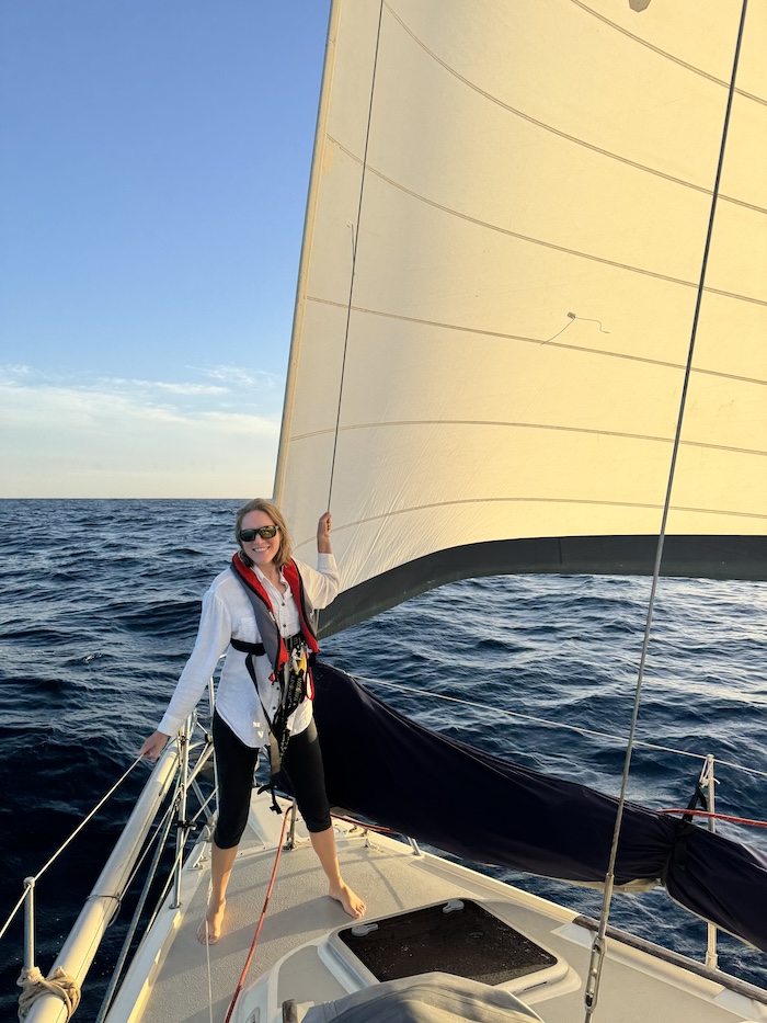
Between them, they speak Spanish, English, German, French, Portugese and Swedish. Before sailing to Guinea Bissau, they visited the Madeira archipelago and the Canary Islands, From there, they crossed to Dakar, Senegal before continuing south and navigating the Gambia River.
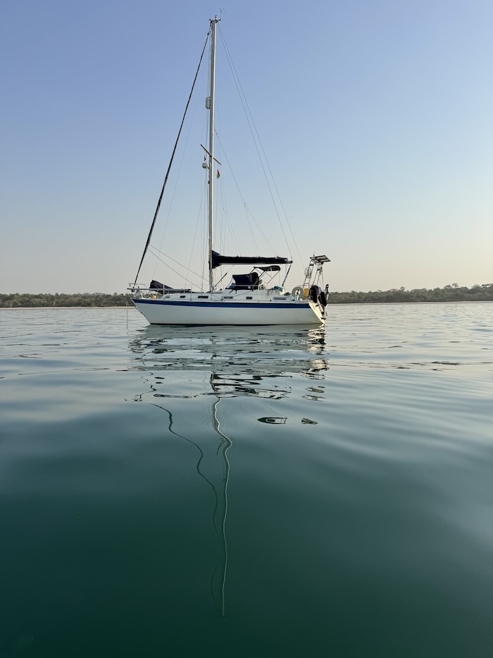
SY Nala is a Westerly Seahawk 34 Length: 10.2 m Draft: 1.5 m.
………………………………
Other Reports on Guinea-Bissau
………………………………
The opinions expressed in this article are the author’s own and do not reflect the view of Noonsite.com or World Cruising Club.
If you have found this information useful, become a paid member to enjoy unlimited use of Noonsite plus many other perks. Your membership fees really help our small, dedicated team keep country information up-to-date in support of cruisers worldwide. Find out more about Noonsite Membership levels and benefits here.
Subscribe to our FREE monthly newsletter: https://www.noonsite.com/newsletter/
Leave a comment
You must Login or Register to submit comments.