Information Charts and Products Withdrawn
Garmin is an American multinational technology company that designs, develops, manufactures, markets,and distributes GPS-enabled products and other navigation, communication, sensor-based, and information products.
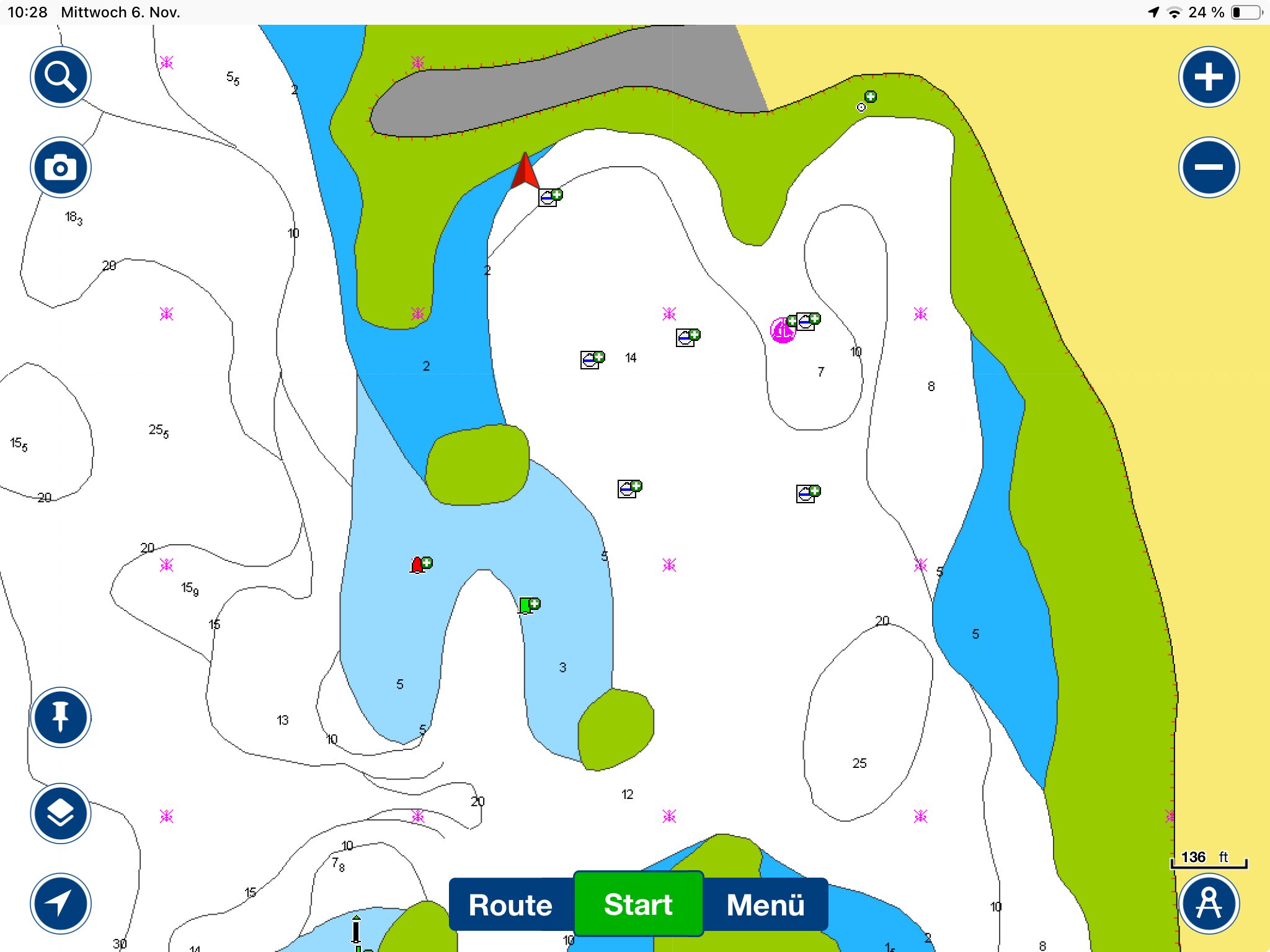
As of July 1, 2025, Garmin Navionics+, Garmin Navionics Vision+, Navionics+, Platinum+ and Navionics Boating marine charts have been removed from sale for areas of:
- Indian Ocean and South China Sea
- Sumatra
- Java and Borneo
- Central West Papua and East Sulawesi.
Users with an active subscription for these products will continue to be able to perform chart updates until the natural expiration of their subscription.
New charts that replace the dismissed products will be released by the third quarter of 2025. Note that existing subscriptions for dismissed products will not be updated with these new regions and therefore a separate purchase is required.
- Indian Ocean to Thailand
- Indonesia and Malaysia
If your subscription expires before the new offer is released, your charts are no longer available. Some sailors have reported – via social media – losing their downloaded charts when their tablets connect to the internet.
Other options and information
For cruisers who run OpenCPN, there are excellent charts available online such as those from SV Ocelot and SV Soggy Paws. These sites also link to other cruisers’ websites that provide similar charts for OpenCPN.
See this YouTube Report from a Cruiser who discovered the issue when he went to renew his subscription:
…………………………………
Noonsite has not independently verified this information.
Find out all news, reports, links and comments posted on Noonsite, plus cruising information from around the world, by subscribing to our FREE monthly newsletter. Go to https://www.noonsite.com/newsletter/.
Leave a comment
You must Login or Register to submit comments.
Some feedback (at end of text) from Garmin on the withdrawal of electronic charts from Garmin for SE Asia region. And yes our Navionics subscription just expired (on our tablets) and despite turning off WIFI, data & putting them to airplane mode, we lost the charts on one of the notepads – assume it was picking up the date from the GPS signal. I turned the GPS signal off on the second notepad and the charts remain entact, albeit no GPS location and several features disabled – autoroute etc. We are currently in Sabah, Malaysia so more than just an inconvenience as Garmin would suggest. We have an active Navionics subscription for our plotter and have OpenCPN etc. ……………………………………………………………………………………………………………………………………………………………………………………………………………………………………………… Thank you for contacting Garmin Australasia,
The Hydrographic Offices of Italy and Indonesia have imposed new contractual obligations that have forced us to make consequential changes to our product offerings and pricing, as you have noted. Due to this, we do not currently have an charts available for this region until Q3 2025 where the original charts will be updated. We apologise for any inconveniences this may cause.
If you have any further questions at all then please feel free to contact us on 1800 235 822 EST (Australia), 0800 427 652 (New Zealand) 8:30am-5pm (Mon-Fri).
Traditional way for Garmin. Pay more…
And this is the danger with all subscription products…you don’t own them, they do, and you are at their mercy whatever they decide to do.
Far better to have charts that are permanently installed in your navigational device then rely on an internet subscription which can be removed at a moment’s notice.
IMHO