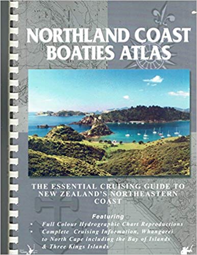
A chart-based Cruising Guide covering New Zealand’s Northland Coast Including the Bay of Islands and the Three Kings Islands. Full-color reproductions of portions of official hydrographic charts for the area. The accompanying text provides descriptions of anchorages and includes useful GPS waypoint coordinates, information for onshore facilities, and weather forecasting and VHF radio information.
By David Thatcher
Published: (2000)
Leave a comment
You must Login or Register to submit comments.