
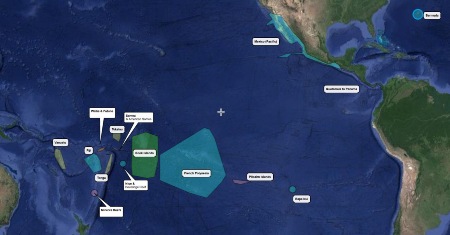
A free resource developed by long distance cruisers Bruce Balan and Alene D. Rice, where cruisers can download satellite and nautical charts in MBTile format for use with OpenCPN. They cover all of the Pacific Coast of Mexico, Central America and most of the island groups of the South Pacific, plus Bermuda. All of the Caribbean is now covered too, including the Bahamas. Plus all of Japan from the Ryukyu Islands to Hokkaido.
A complete set of NZ charts is also available. Bruce says; “These charts are all zoom 13-16,18. Use them with the the zoom 8-12 NZ overview. Charts are divided by east and west coast for the North and South Islands. ArcGIS, BingSat, GoogleSat and Navionics are all available. We recommend loading the Overview and only the coast(s) where you are currently cruising. And don’t forget to use Chart Groups based on the type of file.”
By SY Migration
https://chartlocker.brucebalan.com/
Find out more about Bruce and Alene’s cruising life at our profile for Portrait of a Cruiser.
