Sailing over the top of Madagascar (Cap de Ambre) from Seychelles

Regular Noonsite contributor Amy Alton of catamaran Starry Horizons gives an excellent overview of arriving in Madagascar and cruising down the coast, with as always great images of each anchorage and their time in this diverse country.
Published 5 years ago
 Coming from Seychelles is tough between June – September when the southeast trade winds are in effect. We were ready to leave in late July but ended up missing the last weather window by a few days and got stuck. We left in late September.
We had a wild ride over the top of Madagascar. Of course, we hit at night, and the waves were big. We surfed down at 10 knots and got sucked back up at 1 knot. We kicked on our engines and cut perpendicular to the current as much as we could.
We used Des Cason as a weather router and arrived in Madagascar on October 1st and left Baly Bay 35 days later.
Weather Around Nosy Be
The winds around Nosy Be are land and sea breezes and are very light most of the time. Cruisers plan their movements around the right winds, sailing north during the morning with the south winds, and sailing south during the afternoon with the north winds. The afternoon winds are typically stronger.
The season was starting to change during our visit. It had been hot and very still in earlier months, but we saw quite a bit of rain.
Arriving in Madagascar
View Google Map of Madagascar anchorages here.
- Mitsio
Mitsio: 12° 54.430S 048° 34.616E
We anchored for one night in Mitsio. Any further north is part of a marine park, and you must pay to stay the night (in local currency or Euros). Fishermen paddled up to me looking to trade, and I traded tee shirts and a snorkel mask for lobsters and fish.
- Crater Bay
Crater Bay: 13° 24.031S 048° 13.272E
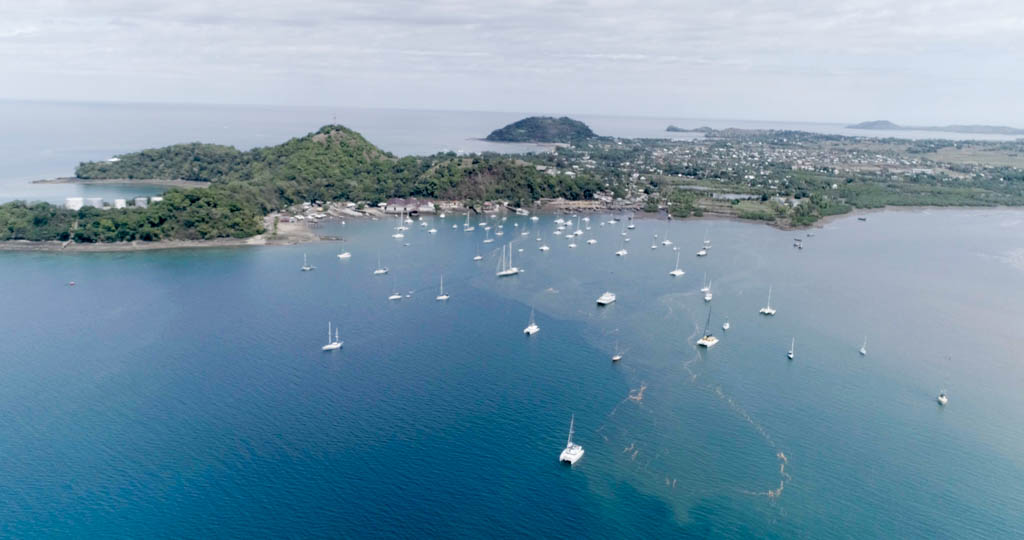
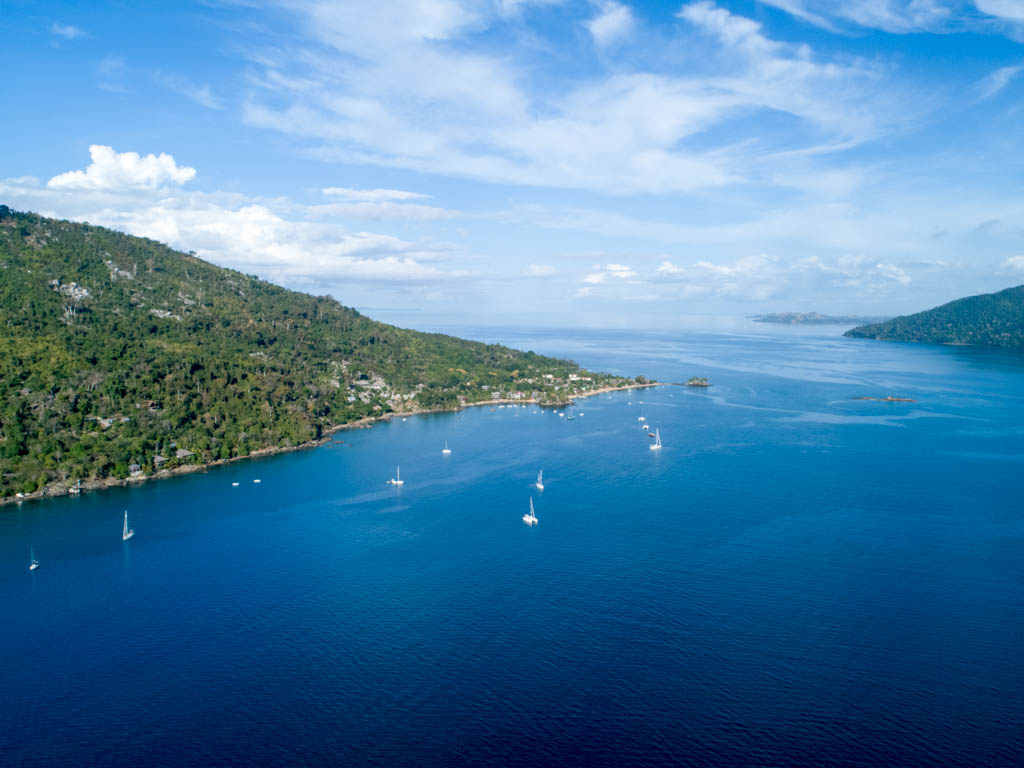
We spent the day sailing down to Nosy Be and anchored in Crater Bay for the night. This is home to the yacht club (NBYC), and we anchored just outside the mooring field. It’s easy staging to get to Hell-Ville in the morning and is a more favorable anchorage.
- Crater Bay Northern Park
The NBYC does charge for dock access: 15,000 ariary ($4 USD) for one night or 100,000 ariary ($27 USD) for a week. This includes rubbish and the dinghy dock. Check out the small store with wine and foie gras, the book swap, and the restaurant with wood-fired grill.
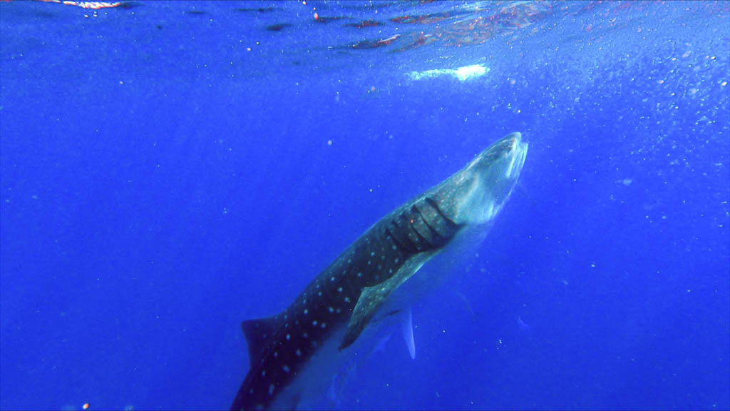
We returned to Crater Bay and used it as a base for day trips: swimming with whale sharks, Lokobe Park, and sunset at Mont Passot and Crater Lakes.
Hell-Ville: 13° 24.477S 048° 16.958E
This is where we cleared into the country.
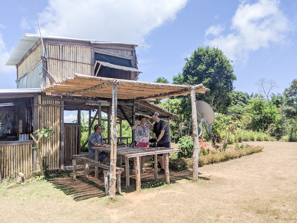
Arriving in Hell-Ville, we anchored outside the mooring field and went to shore to find Jimmy. He wears a red hat and looks for cruisers at the dock every morning. Jimmy guided us around town to take care of all the necessities: clearing in, cash, internet, groceries.
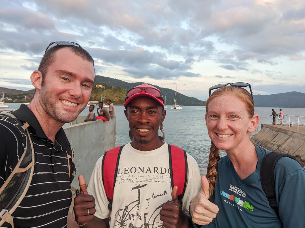
- Us with Jimmy in Hell-Ville.
Here’s what we paid to clear into Madagascar:
460000 ariary ($124.32) immigrations (includes taxi to airport, 60 day visa, Americans)
100000 ariary ($27.03) customs
160000 ariary ($43.24) harbormaster
3000 ariary ($0.81) tuktuk
60000 ariary ($16.22) Jimmy and Smile (who watches dinghy)
That totals to 783,000 Ariary ($210 USD)
I wrote Jimmy’s number down as 032 84 792 37, but I think our phone service didn’t include texting so I never did message him.
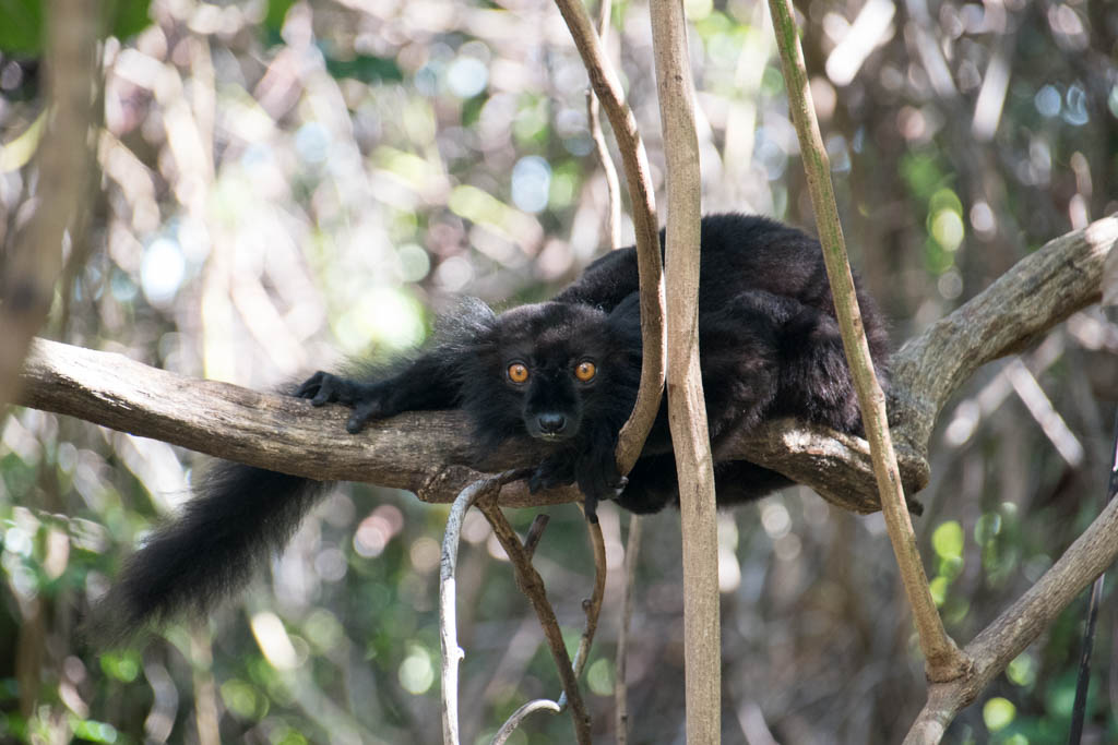
- Wild lemurs on Nosy Komba.
Anchorages Around Nosy Be
Nosy Komba: 13° 26.613S 048° 21.446E
Nosy Komba was a highlight. We went ashore and hired a park ranger to hike up to the top of Nosy Komba. John, the ranger, brought bananas with him, and he called to the lemurs to come down and eat bananas. The lemurs were extremely inquisitive. John told us that hurting a lemur has always been fadi (taboo), and they’ve always been important to the locals. We also saw tons of chameleons.
- Nosy Komba Bar.
The hike up to the top was fabulous. It took about three hours to get to the top. There’s a small drink shack that serves lemon juice, tea, and rum! Going down was much shorter.
- Nosy Komba
Sakatia: 13° 19.009S 048° 09.663E
Sakatia (Sa-KA-tia) is very close to Nosy Be and has a few lodges. We hooked up with the dive shop at Sakatia Lodge and went for a dive, which was great. There is a green turtle protected area just inside the mooring balls, go snorkeling to find them. We also enjoyed a lovely three-course meal for dinner (my birthday!).
- Russian Bay
Russian Bay: 13° 32.307S 047° 59.963E
Russian Bay is a well-protected anchorage most of the time. We anchored pretty far out but there’s plenty of room to tuck in further. At night, it was one of the calmest places we’ve ever been, with beautiful bioluminescence. We’ve heard that one of the locals does traditional sailboat tours, but we didn’t spend much time in Russian Bay.
- Honey River
Sailing Down the Coast of Madagascar
We cleared out of Madagascar in Nosy Be.
There was a lot of discussion among cruisers about what to do. Technically, you are supposed to clear out of the local authorities but not the country if you are sailing down the coast. When you get to Mahajanga, you are supposed to clear in with the local authorities there. Most boats we know cleared completely out of the country in Nosy Be and continued south. The big problem is that you probably do need to stop in Mahajanga for supplies (everyone we know needed to pick up some diesel).
Honey River: 13° 42.759S 047° 53.919E
Honey River is a nice quiet little river known for, of course, honey. If you walk ashore the villagers will show you where the honey lady is. She has bottles pre-filled, 25,000 ariary for 1.5 L of honey. If you are headed to South Africa, the honey makes a great gift for Des Cason, the weather router.
The winds in the afternoon blew in from the ocean, but the chop wasn’t very bad.
- Antanimora
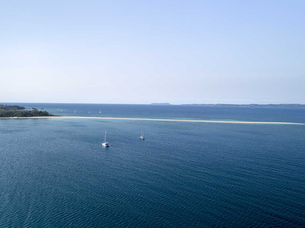
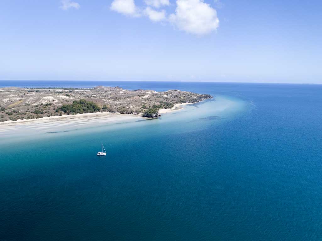
Antanimora: 14° 07.032S 047° 45.798E
Antanimora is a small island with a large sand spit. It’s very beautiful. We anchored on the south side of the sand spit, while most boats anchored on the north side. The south side is unprotected during the morning winds, but they are also lighter. The north side is exposed during the stronger afternoon winds.

Walking the sand spit is lovely. We snorkeled north of the sand spit in the morning – not much to see. I did go ashore one afternoon with my friend Linda and found someone to guide us up to the top of the mountain for a lovely view. It was a little sketchy finding someone, even with Linda being a native French speaker. We eventually did find a local guy to lead us and two other guys from Nosy Be on a fishing boat came along too. It was a great hike, and we paid our local guide a little bit of money for his help.
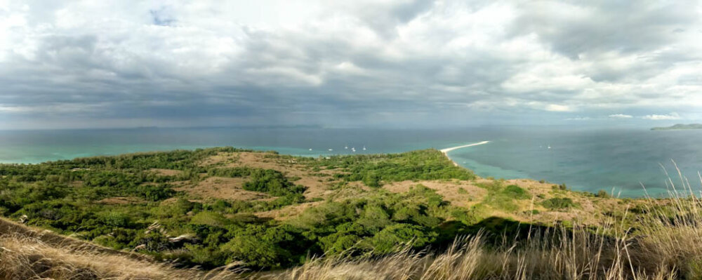
- View from the top of the hill.
This is usually the furthest south that the charter boats go. We did spot a whale in our anchorage. Unfortunately, we also had some MASSIVE shrieking cicadas fly out to our boat. They sounded like very loud rats. Be sure to put your bug screens on.
- Nosy Lava
Nosy Lava: 14° 31.542S 047° 36.505E
We stopped for a night at Nosy Lava to break up our sail down. It wasn’t a very protected area, and many years ago, this island had a reputation from being a prison and the location of a cruiser’s murder.
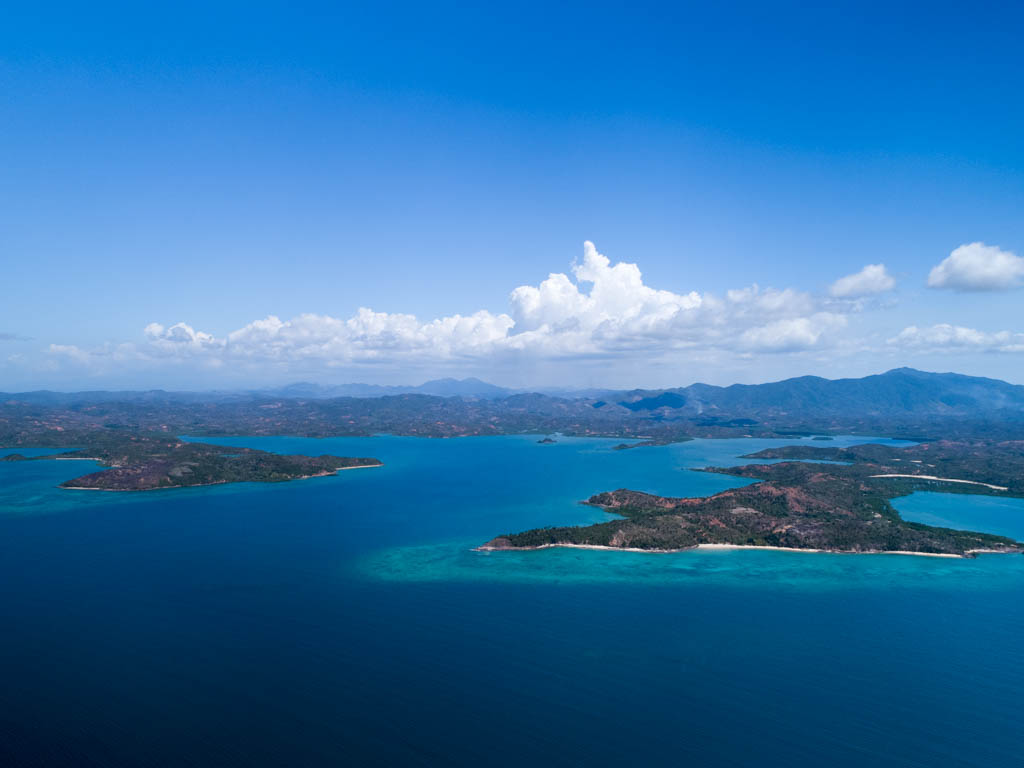
 Moramba Bay: 14° 53.563S 047° 20.403E
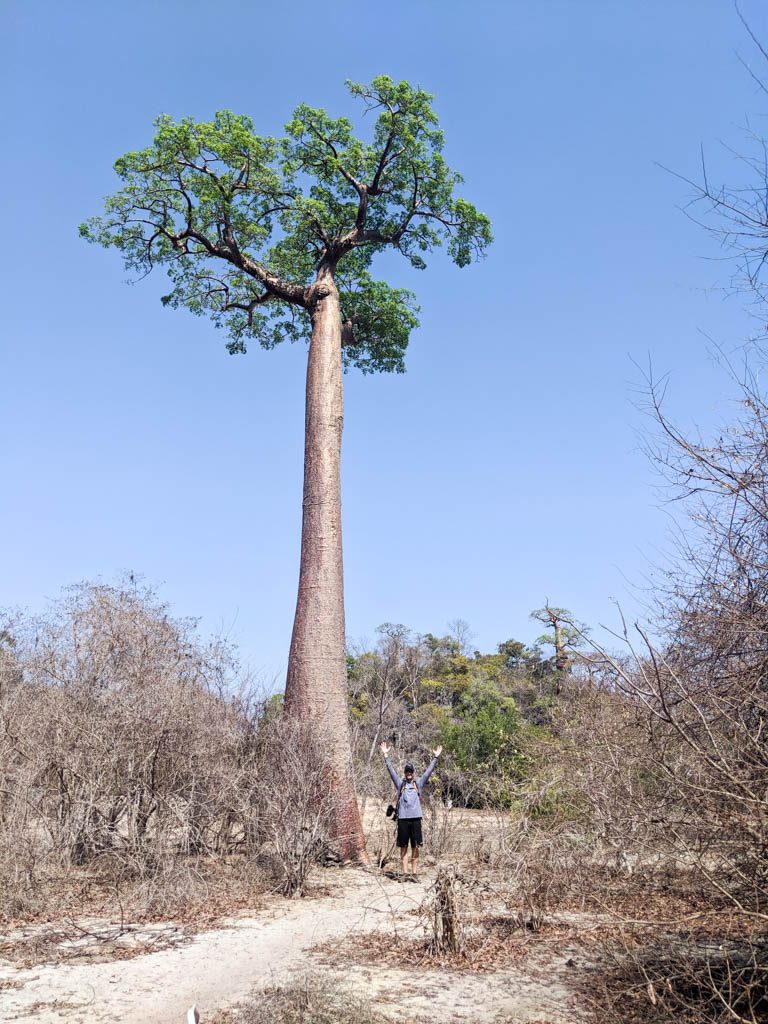
Moramba Bay was a highlight for us.
It is very protected, plenty of room for a lot of boats to anchor. This was our chance to see baobab trees, and we could see a lot from the anchorage.
We dingied around the corner to make landfall on the beach around 14°53’15.5″S 47°20’02.7″E. The bay is very shallow, so we got Little Dipper up as far as we could and threw our anchor out. From there, we walked the trail through to 14°53’10.3″S 47°19’40.5″E, where there was a large clearing with lots of baobab trees. We walked as much of the trail as we could until it got too hot. We spotted lemurs in the wild. When we returned to the beach, the tide was higher and LD was floating on her anchor. We waded out to get to her.
Supposedly you can trade for tiger shrimp here. I negotiated with a guy and I thought we agreed he would bring tiger shrimp, but he never came back. It didn’t help that our last few nights we were the only boat there, so I guess it is probably hard for them to justify coming out to the anchorage to make trades.
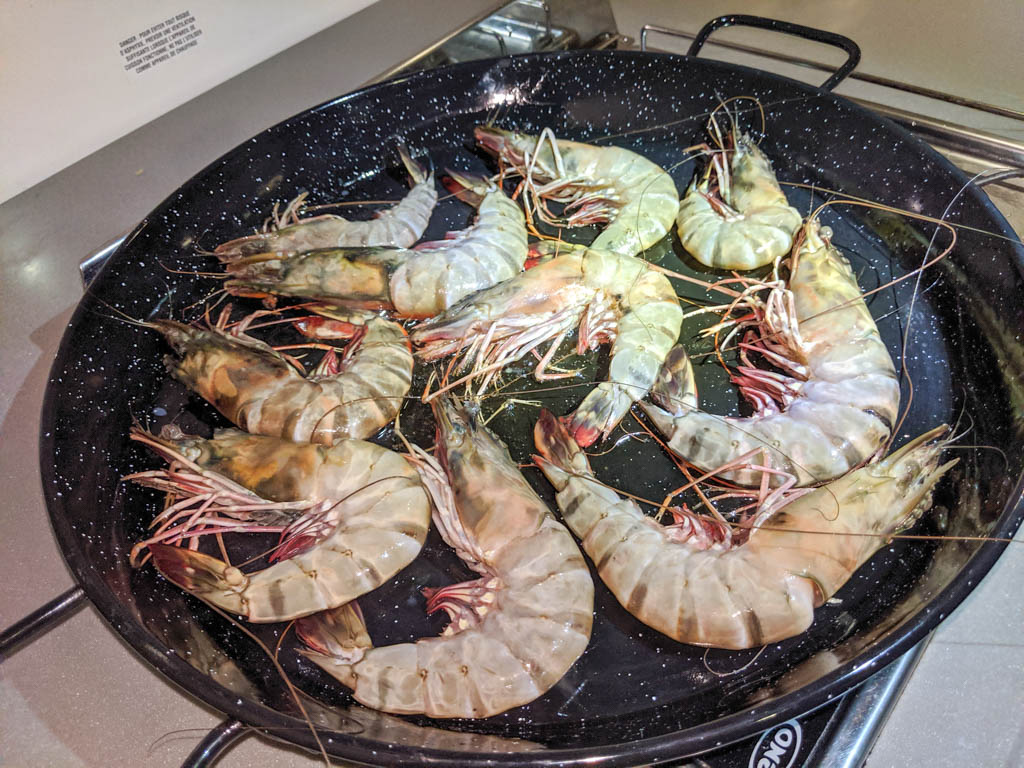
- Tiger Shrimp
Mahajanga: 15° 42.890S 046° 17.755E
Mahajanga was the big city.
We sailed overnight from Moramba and anchored just inside the breakwater. I dropped David off at the beach, which was littered with rocks to avoid and the beach was pure mud: David lost a flip flop. He filled up jerry cans with diesel, bought a few provisions, and replaced his flip flop. We had heard from friends ahead of us that authorities had come around to the boats. They were a large group of boats traveling together down the coast and we were just one, but we weren’t keen to stay. We left that night to sail overnight to Baly Bay.
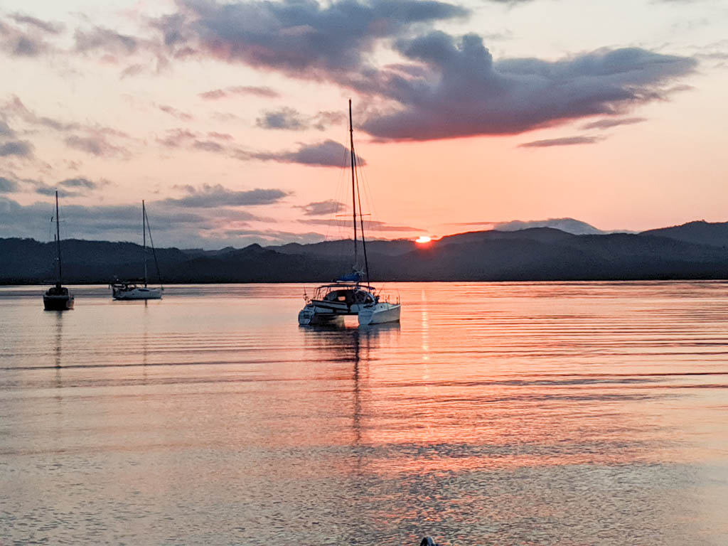
Baly Bay: 16° 03.465S 045° 17.742E
Most cruisers waiting for good weather to cross the Mozambique Channel wait in Baly Bay. We anchored off the beach because the tide was too low to head back to the lagoon. It was a rolly night. The lagoon is much more protected. We would have gone back into it, except that the weather looked good to go, so after only one night, we moved on.
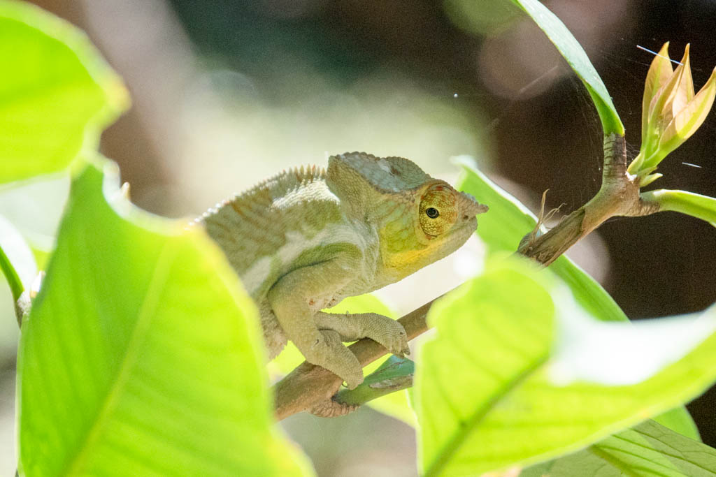
- Chameleon
Provisioning
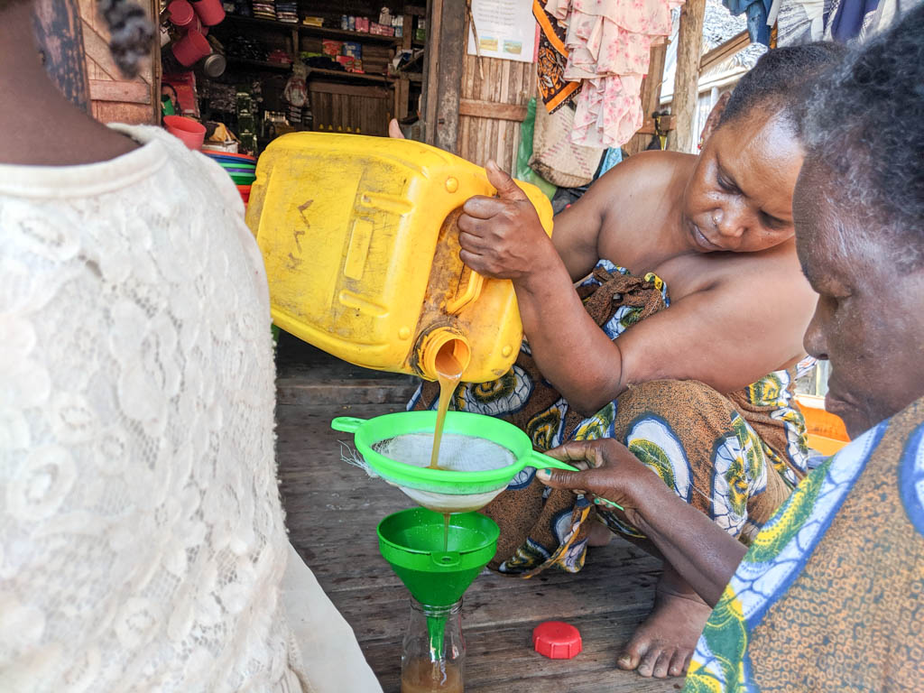
Provisioning in Nosy Be is excellent. It has a large European community, and we could get more than we expected there. The Hell-Ville market was also fabulous. We bought huge Malagasy tiger shrimp, which were so incredibly delicious and cheap (70,000 ariary per kg/$8.50 per pound)!
For supermarkets, there is a Shampion in Hell-Ville and a Leader Price between Hell-Ville and Crater Bay. Look for Malagasy chocolate, which has a distinctive fruity flavor to it.
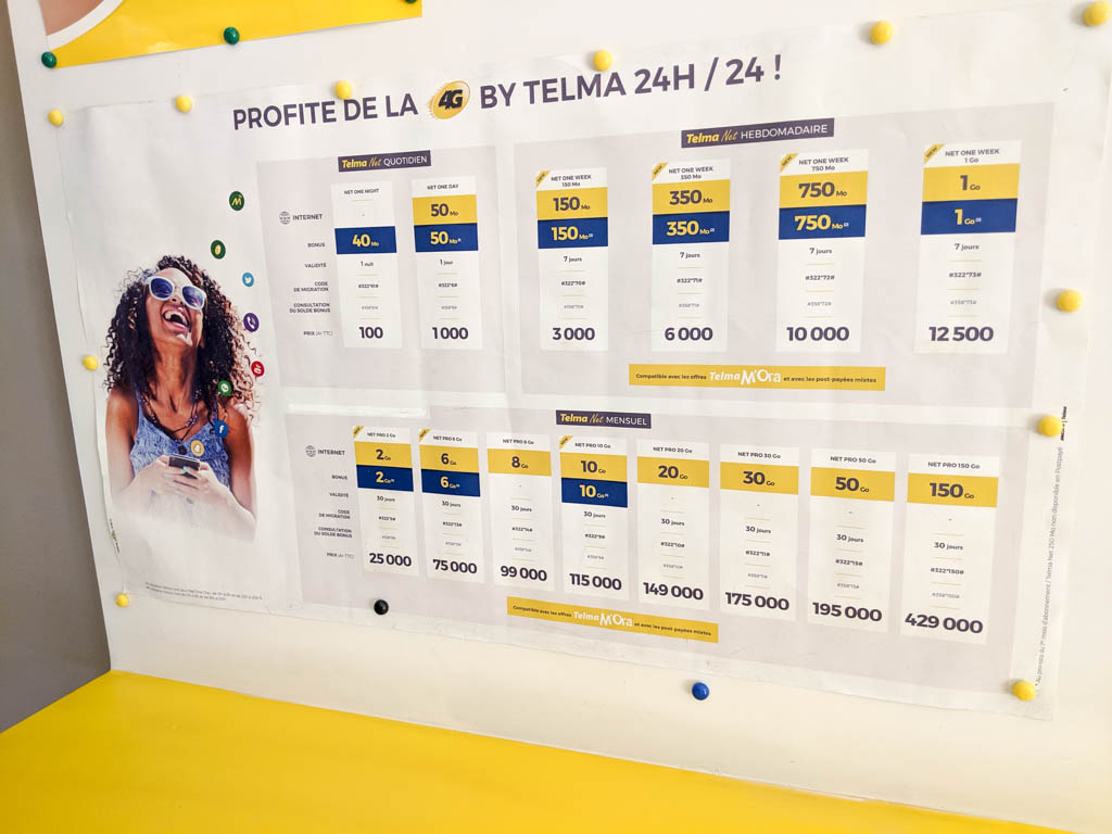
Cell Phone Service
Jimmy recommends Telma, and we paid about $2/GB. However, we did not have great service further south. Friends on Orange had better service.
Conclusion
Madagascar is a very popular stop for cruisers. The wildlife is superb and even Nosy Be, being a fairly busy tourist destination in Madagascar, is well under the radar.
Sailing is poor, with a lack of winds, but there were several good anchorages along the coast.
Read more of our adventure sailing along the coast of Madagascar.
Amy Alton
SY Starry Horizons
…………………………………………………………………………………………………………………………………..
- Starry Horizons Portrait of a Cruiser
- For other reports submitted by Starry Horizons see here.
- Noonsite Madagascar Information
- Mozambique Security Update – by Des Cason (January 2020) – Des Cason is a retired cruiser based in SA, who offers advice to cruisers visiting the country and routing and weather information for the Indian Ocean: sygambit@gmail.com
…………………………………………………………………………………………………………………………………..
The opinions expressed in this article are the author’s own and do not reflect the view of Noonsite.com or World Cruising Club.
Related to following destinations: Madagascar, Mahajanga, Nossi-Be (Hell-Ville), Nosy Hara, Toamasina
Related to the following Cruising Resources: Indian Ocean, Routing
Comments