Using Charts and Eyeball Navigation in Remote Areas
Using satellite charts has the great advantage of better position accuracy over many traditional marine electronic (or paper) charts and they normally do not have un-surveyed and less traveled areas on the ocean like electronic charts sometimes have.
BUT it could be a grave mistake to believe that all obstructions are showing up on satellite charts, as you will see in this video of a blind breaker in Papua New Guinea, near Manus Island which we experienced in February 2025.
Luc Callebaut
s/v Sloepmouche
…………………………………
Related News:
…………………………………
About the Author
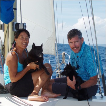
Luc and his partner Jackie, have been exploring the warm waters of the world since 1992 on board their 46ft Norman Cross trimaran. They have lived and worked in the Caribbean, Pacific and for the past five years have been cruising in Malaysia, Indonesia and the Philippines. They are now cruising eastward through Papua New Guinea and the Solomon Islands into the Pacific.
Luc worked as a regional editor for Noonsite for many years. Find out more about Luc and Jackie here [https://cornellsailing.com/archives/past-rallies/the-team/#LucJackie]
Videos about their cruising adventures can be viewed on their YouTube channel “Tropical Sailing Life” or their Tropical Sailing website, which contains more than 600 original, edited, titled, cruising videos.
………………………………
Other Noonsite reports from Luc and Jackie:
- From Philippines to Tahiti: Kavieng to Noro in the Solomon Islands
- Papua New Guinea: Cruising the North East Coast
- Indonesia, Bitung: Notes on a Lengthy Check-Out
- SE Asia: Cruising Notes on Malaysia and Indonesia.
- Vanuatu: Cruisers Deliver Aid to Communities
- Indonesia: Clearance Experiences at Bintam and Batam
- Malaysia: Update on Sebana Cove Marina
- Pacific Crossing 2022: Panama and Galapagos Update
- Pacific Crossing 2022: French Polynesia Update
………………………………
© 2025 Noonsite. This content was edited by Noonsite. Do not reproduce without permission. All rights reserved.
The opinions expressed in this article and video are the author’s own and do not reflect the view of http://Noonsite.com or World Cruising Club.
If you have found this information useful, become a paid member to enjoy unlimited use of Noonsite plus many other perks. Your membership fees really help our small, dedicated team keep country information up-to-date in support of cruisers worldwide. Find out more about Noonsite Membership levels and benefits here.
Subscribe to our FREE monthly newsletter: https://www.noonsite.com/newsletter/
Leave a comment
You must Login or Register to submit comments.
Met Luc & Jackie Pago Pago American Samoa 2004. They did PADI Advanced Open Water course for Schooner SEAWANHAKA crew Niuatoputapu Tonga. Great to keep following their adventures.., still out cruising 20+ years later. Bill Hanlon S/V NOGOLI (lost the dear schooner, collateral damage Sudan hostilities)